GIS Planning Application
The Planning App is designed to focus on the needs of residents interested in gathering information about land. This GIS tool allows you to interact with the map to find information related to planning & zoning. It includes data such as property information, aerial imagery, zoning, streams and other water features, flood areas, parks and much more.
LEWISVILLE ZONING MAP
The Lewisville zoning map provides a snapshot of zoning districts across the town as of 2024. It provides a visual understanding of zoning patterns and land use practices throughout the town. This map is subject to change at any time when the Town Council approves rezonings.
Map Forsyth
The City-County Geographic Information Office provides GIS tools, data, and applications for Forsyth County, NC, its municipalities and all citizens.
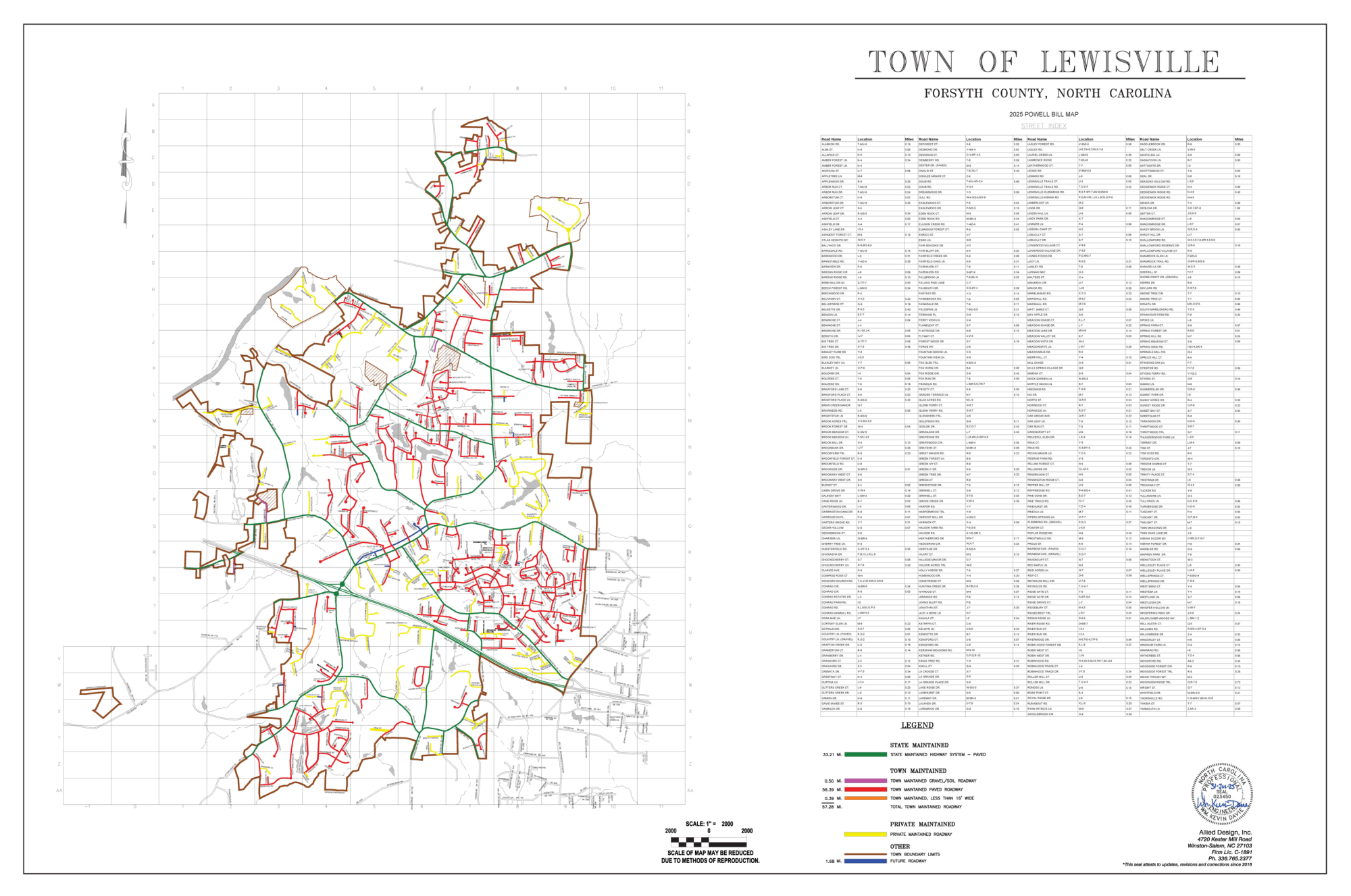
Powell Bill Map
This local street map is sometimes called a “Powell Bill” map. According to the North Carolina Association of Metropolitan Planning Organizations (NCAMPO), the 'Powell Bill' map is created to allocate funds to towns for maintaining, repairing, constructing, reconstructing, or widening of any street or public thoroughfare within the corporate limits of the town.